Precision Drone Mapping
for Irish Landscapes
High-resolution aerial imagery, terrain mapping, and geospatial insights for farms, landowners, and environmental monitoring.
GIS & Remote Sensing Analysis • Drone Surveying • Automation
about us
Advanced Geospatial Data for Environmental Monitoring
We are a new business aiming to provide consultation services and GIS-ready datasets for agriculture, environmental monitoring, surveying, and land management across Ireland.
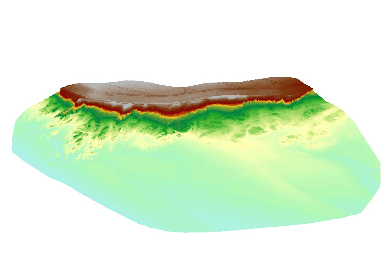
Our workflows combine drone surveying, GIS, and remote sensing to transform aerial imagery into actionable geospatial insights.
Workflow
Capture
High-resolution drone imagery collected across the survey area.Process
Imagery processed into orthomosaics, terrain models, and GIS-ready datasets.Analyse
Use aerial data for mapping, monitoring, planning, and environmental analysis.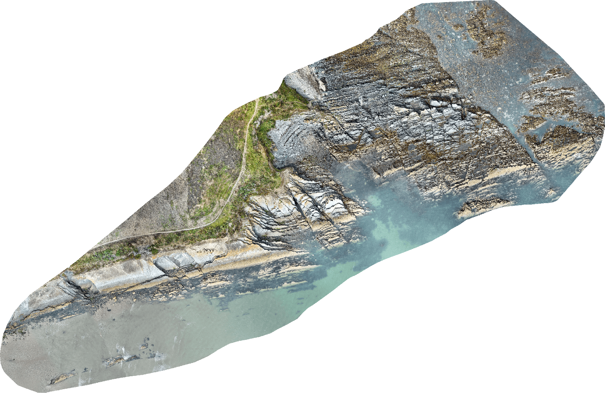
Services
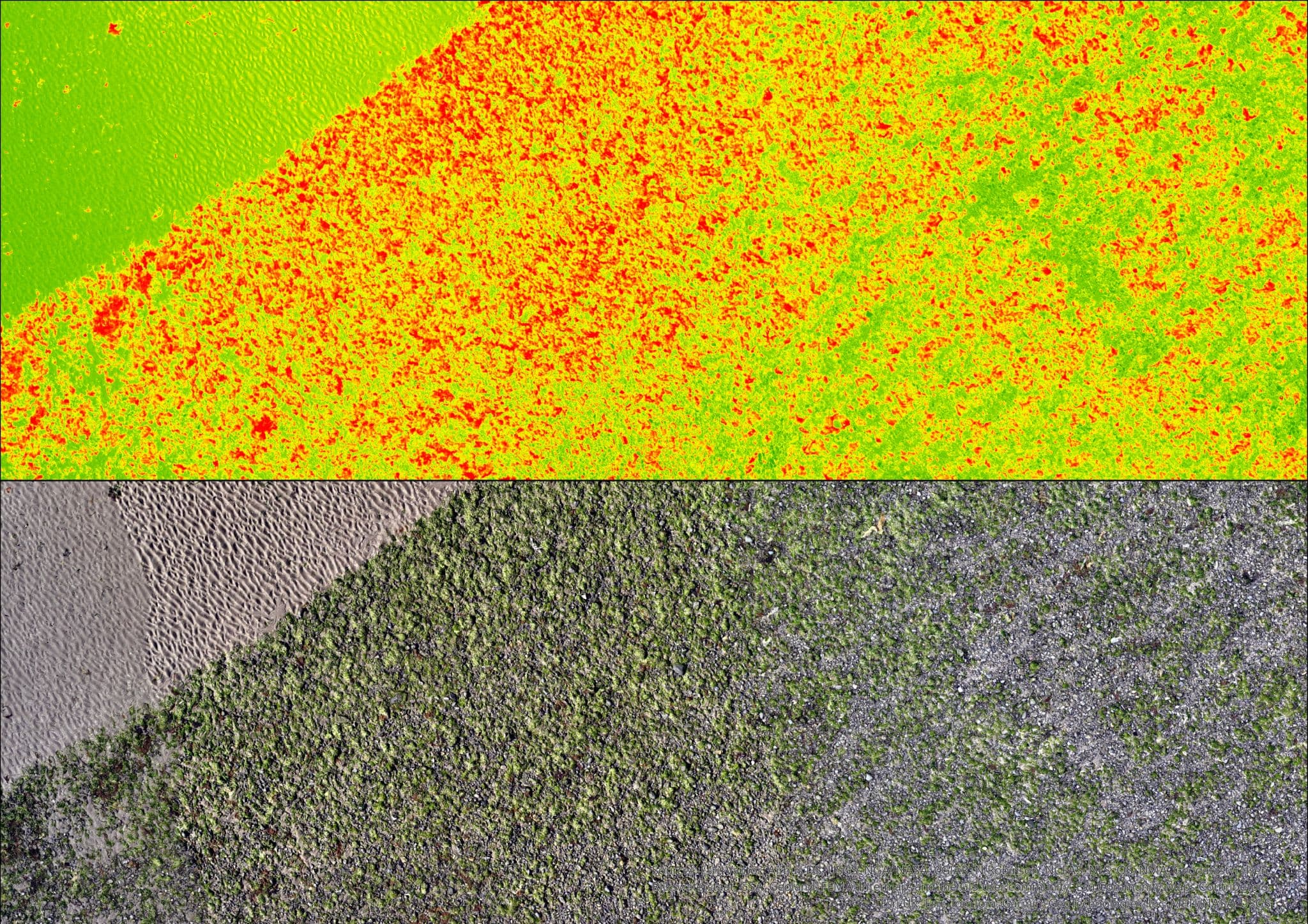
Drone Surveys for Environmental & Coastal Monitoring
Capture more than standard RGB imagery. Our RTK-positioned 7-band multispectral surveys provide powerful insights for environmental, coastal, agricultural, and ecological applications. From seaweed habitat mapping and shoreline monitoring to crop health assessment and weed detection, Éiremap transforms aerial data into actionable intelligence.
GIS Automation & Decision Support
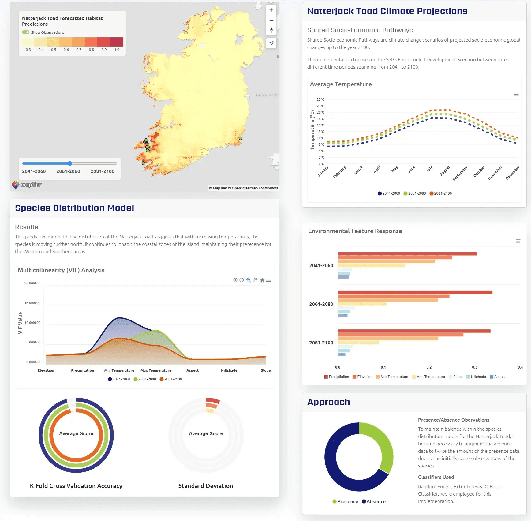
Transform geospatial data into actionable insights with custom Web GIS applications, automated workflows, and remote sensing solutions. We develop scalable platforms that streamline data collection, analysis, reporting, and decision-making for environmental, agricultural, coastal, and infrastructure projects.
Launching Soon in 2026
Éiremap GeoHub
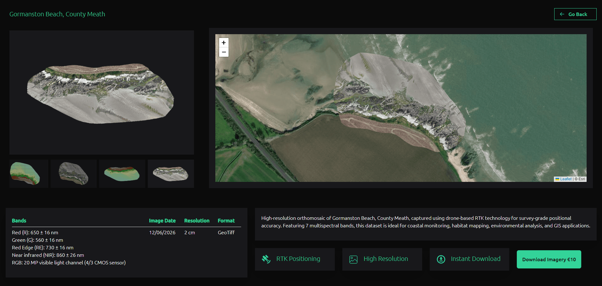
Éiremap is building Ireland's next-generation geospatial marketplace, providing affordable access to high-quality drone imagery, multispectral datasets, orthomosaics, and mapping products for students, researchers, and professionals.
Affordable. Accurate. Accessible.
Éiremap GeoHub Preview
Get in Touch
Ready to Map Your Land From Above?
info@eiremap.ie